


Meteorologist Ray Stagich
WLS-AM
Monday, June 15th, 2015
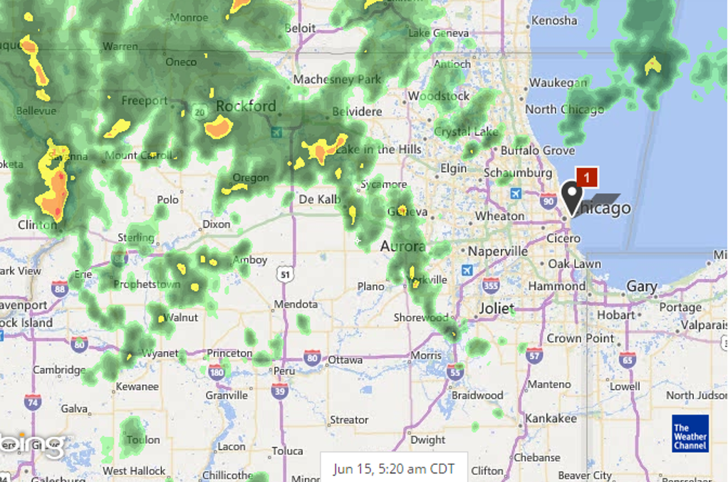
RAY’S NOTE: SCATTERED SHOWERS AND THUNDERSTORMS CONTINUE THROUGH MONDAY. THE STRONGEST, OF WHICH, MAY PRODUCE: LOCALIZED FLOODING, FREQUENT CLOUD TO GROUND LIGHTNING AND ISOLATED WIND GUSTS OF 60 MPH.
SUNRISE AND SUNSET
JUNE 15 2015 – SUNRISE 515 AM CDT SUNSET 829 PM CDT
JUNE 16 2015 – SUNRISE 516 AM CDT SUNSET 829 PM CDT
Today | Scattered thunderstorms this morning, then mainly cloudy during the afternoon with thunderstorms likely. A few storms may be severe. Heavy rain and gusty winds possbile. High near 80F. Winds SW at 10 to 15 mph. Chance of rain 80%.
Tonight | Thunderstorms early, then cloudy skies after midnight. A few storms may be severe. Low 63F. Winds NW at 10 to 15 mph. Chance of rain 80%.
Tomorrow | Decreasing clouds… High 68F. (cooler lake) Winds NE at 10 to 15 mph.
Tomorrow night | Considerable cloudiness. Low around 55F. Winds NE at 10 to 15 mph.
Wednesday | Scattered thunderstorms. Highs in the upper 70s and lows in the mid 60s.
Thursday | A few thunderstorms possible. Highs in the upper 70s and lows in the upper 50s.
Friday | Afternoon thunderstorms. Highs in the upper 70s and lows in the mid 60s.


