WLS Forecast Summary
Meteorologist Ray Stagich
Friday, July 10th, 2015
Ray’s Note: Temperatures will run closer to average from Friday into the weekend. Scattered showers and thunderstorms return later Saturday into Saturday night and Sunday….
SUNRISE AND SUNSET
JULY 10 2015 – SUNRISE 525 AM CDT SUNSET 828 PM CDT
JULY 11 2015 – SUNRISE 526 AM CDT SUNSET 828 PM CDT
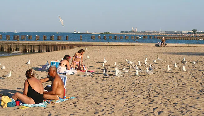
Today | Areas of fog this morning…otherwise…Sunshine and clouds mixed. High around 80F. Cooler by the lake. Winds ENE at 5 to 10 mph.
Tonight | Clear skies. Low near 60F. Winds SSE at 5 to 10 mph.
Tomorrow | A mix of clouds and sun early, then becoming cloudy later in the day. A stray shower or thunderstorm is possible. High 81F. Winds S at 5 to 10 mph.
Tomorrow night | Variable clouds with scattered thunderstorms. Low 68F. Winds SSE at 5 to 10 mph. Chance of rain 50%.
Sunday | A few thunderstorms possible. Highs in the mid 80s and lows in the low 70s.
Monday | Showers and thunderstorms late. Highs in the low 80s and lows in the upper 60s.
Tuesday | Times of sun and clouds. Highs in the low 80s and lows in the mid 60s.