Forecast Summary
Meteorologist Ray Stagich
WLS-AM Forecast
Friday, July 24th, 2015
Fine finish to the week with seasonal temps. Thunderstorms returning this weekend and early next week.
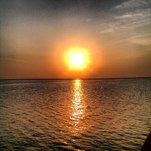
SUNRISE AND SUNSET
JULY 24 2015 – SUNRISE 537 AM CDT SUNSET 819 PM CDT
JULY 25 2015 – SUNRISE 538 AM CDT SUNSET 818 PM CDT
Today | Plenty of sunshine, PM clouds… High 86F. Cooler by the lake. Winds SSW at 10 to 15 mph.
Tonight | Partly cloudy with isolated thunderstorms possible. Low 68F. Winds SSW at 10 to 15 mph. Chance of rain 30%.
Tomorrow | Partly to mostly cloudy with scattered showers and thunderstorms in the afternoon. High 83F. Winds WNW at 5 to 10 mph. Chance of rain 40%.
Tomorrow night | Scattered thunderstorms in the evening. Cloudy skies overnight. Low 67F. Winds ENE at 5 to 10 mph. Chance of rain 40%.
Sunday | Partly cloudy, chance of a thunderstorm. Highs in the low 80s and lows in the upper 60s.
Monday | Partly cloudy with a stray thunderstorm. Highs in the mid 80s and lows in the low 70s.
Tuesday | Mix of sun and clouds. Highs in the upper 80s and lows in the low 70s.