
ByTodd Borek, Weather Channel meterologist
Posted 3:13pm 11.21.15
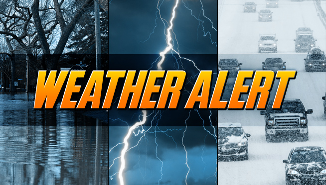
WINTER STORM WARNING HAS BEEN EXTENDED UNTIL 5PM…8PM FOR NORTHERN INDIANA AND 1AM SW MICHIGAN – ADVISORIES FROM KANKAKEE SOUTH EXPIRE AT 5PM.
ADDITIONAL ACCUMULATIONS UP TO AN INCH OR TWO IN THE HEAVIEST SNOW BANDS. SLIGHTLY HIGHER FOR THE INDIANA AND SW MICHIGAN COUNTIES.
Tonight | Clearing as scattered snow ends early. Cold and blustery Low 9 to 16F. Winds WNW at 10 to 20 mph.
Sunny | Sunny, cold and windy. High 28F. Winds SW at 10 to 15 mph.
Sunday night | A few clouds from time to time. Low around 20F. Winds SSW at 10 to 20 mph.
Monday | Sunny. Highs in the upper 30s and lows in the low 20s.
Tuesday | Times of sun and clouds. Highs in the upper 30s and lows in the low 30s.
Wednesday | Considerable cloudiness. Highs in the mid 40s and lows in the low 40s.
Thanksgiving Day | Windy, chance of showers. Highs in the upper 50s