Forecast Summary
Meteorologist Ray Stagich
WLS-AM
Thursday, March 24, 2016
THURSDAY GOES FROM THE POSSIBILITY FOR STRONG STORMS WITH HEAVY EARLY TO RAIN AND SNOW FOR THE AFTERNOON…MAYBE SOME BLACK ICE TONIGHT……
SUNRISE AND SUNSET
MARCH 23 2016 – SUNSET 708 PM CDT
MARCH 24 2016 – SUNRISE 647 AM CDT SUNSET 709 PM CDT
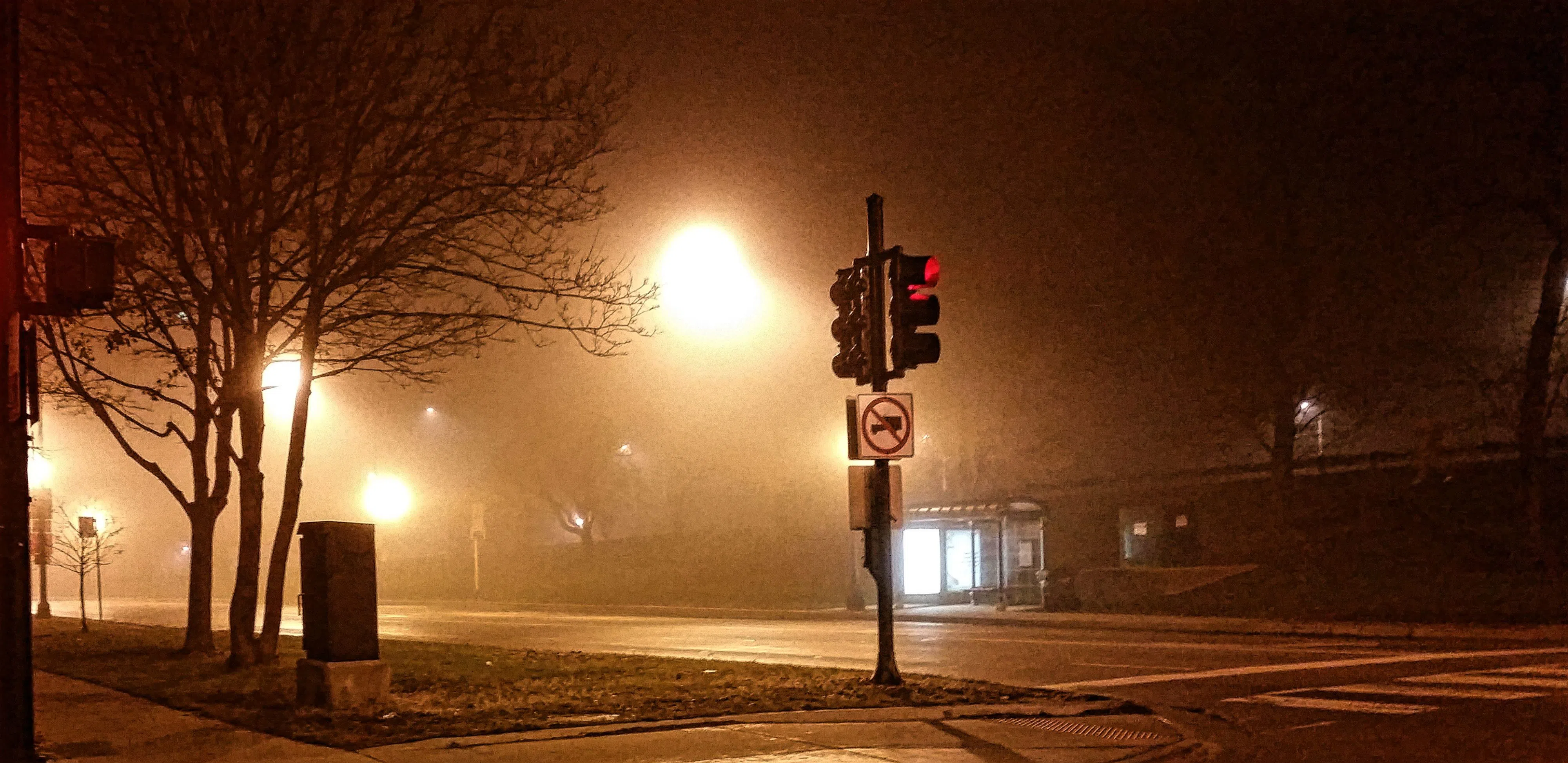
Today | Fog…Showers and thundershowers during the morning will give way to a steadier rain and gusty winds this afternoon. Mix to snow later…High 41F. Falling a bit this afternoon….Winds N at 20 to 30 mph. Chance of rain 100%. Rainfall possibly over one inch.
Tonight | Snow showers this evening. Breaks in the overcast later. Low 26F. Winds NNW at 15 to 25 mph. Chance of snow 80%. Winds could occasionally gust over 40 mph.
Tomorrow | Mainly sunny. High 47F. (cooler lake) Winds NE at 5 to 10 mph.
Tomorrow night | Clear to partly cloudy. Low 33F. Winds SE at 10 to 15 mph.
Saturday | Considerable cloudiness. Highs in the upper 50s and lows in the low 40s.
Sunday | Light rain developing in the afternoon. Highs in the upper 40s and lows in the mid 30s.