Forecast Summary
Meteorologist Ray Stagich
WLS-AM Forecast
Friday, April 22nd, 2016
A chilly lake breeze and cool weather Friday. A Mild and dry weekend leads to a warmer set up next week with storms possible by Monday….The cooler again on Tuesday…..
SUNRISE AND SUNSET
APRIL 22 2016 – SUNRISE 600 AM CDT SUNSET 741 PM CDT
APRIL 23 2016 – SUNRISE 558 AM CDT SUNSET 742 PM CDT
WINNEBAGO-BOONE-MCHENRY-LAKE IL-
INCLUDING THE CITIES OF…ROCKFORD…BELVIDERE…WOODSTOCK…
WAUKEGAN 326 AM CDT FRI APR 22 2016
…FROST ADVISORY IN EFFECT FROM 1 AM TO 8 AM CDT SATURDAY…
THE NATIONAL WEATHER SERVICE IN CHICAGO HAS ISSUED A FROST
ADVISORY…WHICH IS IN EFFECT FROM 1 AM TO 8 AM CDT SATURDAY.
* TEMPERATURE…LOWS IN THE MID 30S…POSSIBLY SOME LOWER 30S IN THE TYPICALLY COLDER VALLEYS.
* IMPACTS…AREAS OF FROST COULD LEAD TO DAMAGE TO UNPROTECTED SENSITIVE PLANTS.
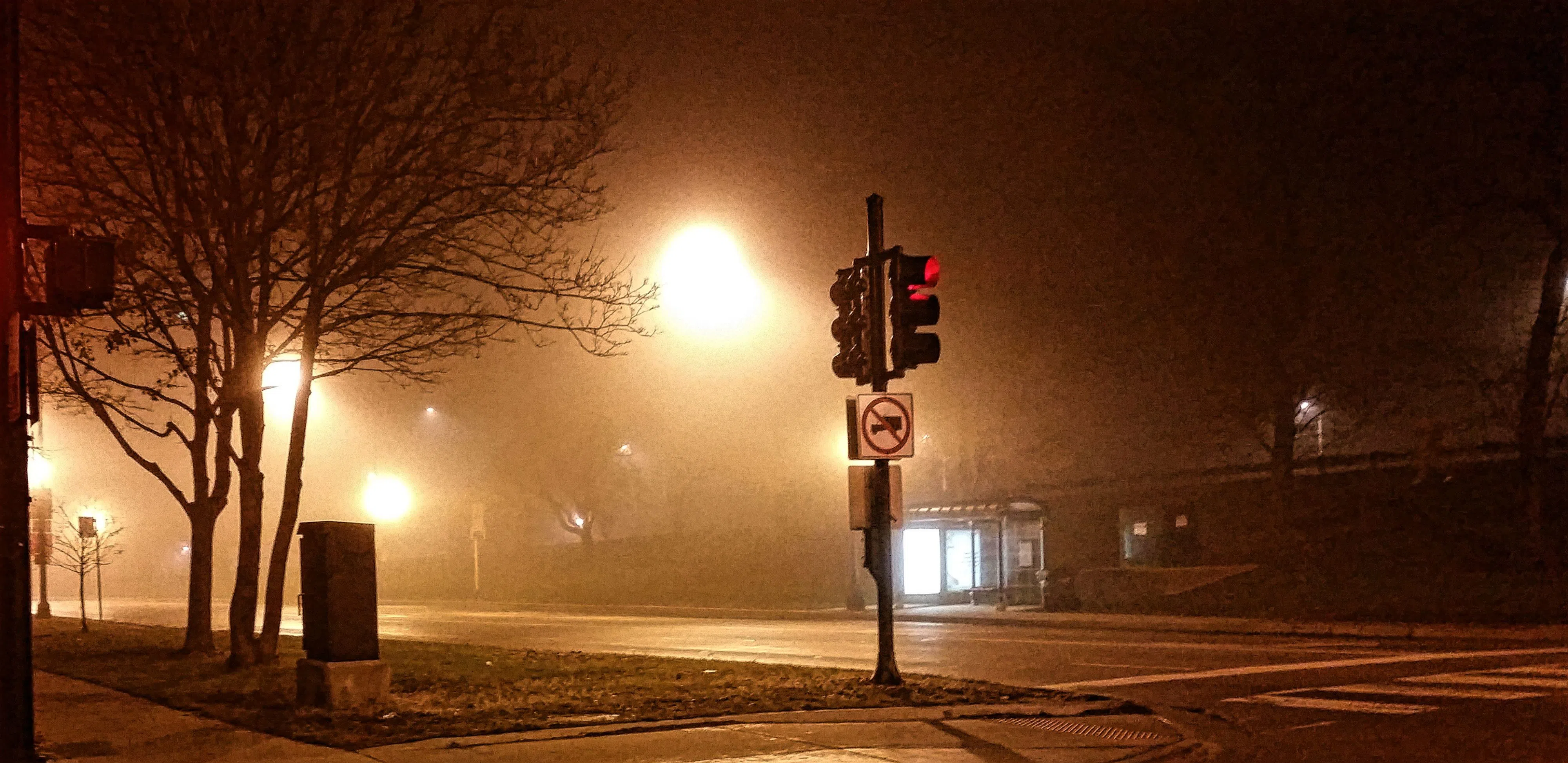
Today | Areas of fog…especially along the lake….otherwise….Cloudy skies early, then partly cloudy this afternoon. Temps in the low to mid 50s all day….cooler on the lake…..Winds NNE at 15 to 25 mph.
Tonight | Clear skies. Low 37F. Winds NNE at 10 to 20 mph.
Tomorrow | Mostly sunny skies. High 63F. (cooler lake) Winds E at 5 to 10 mph.
Tomorrow night | A few clouds. Low 49F. Winds SE at 5 to 10 mph.
Sunday | Partly cloudy. Highs in the upper 70s and lows in the upper 50s.
Monday | Thunderstorms developing in the afternoon. Highs in the low 70s and lows in the mid 40s.
Tuesday | Cloudy. Highs in the low 50s and lows in the mid 40s.
Wednesday | A few thunderstorms possible. Highs in the low 60s and lows in the low 50s.
Thursday | Mostly cloudy. Highs in the upper 50s and lows in the mid 40s.