Forecast Summary
Meteorologist Jeff Eno
WLS-AM Forecast
Tuesday, July 19, 2016
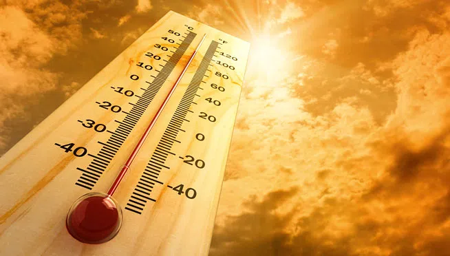
EXCESSIVE HEAT WATCH KICKS IN THURSDAY…MAXIMUM HEAT INDEX VALUES MAY PUSH 115 DEGREES
STORMS WEDNESDAY WILL KEEP THE HOTTER TEMPS AT BAY BUT HIGH PRESSURE OVER THE PLAINS WILL BE THE DOMINANT FEATURE AS THE HEAT CRANKS UP LATER IN THE WEEK
Today | Plenty of sunshine. High mid to upper 80s…upper 70s near the Lake…some spotty patchy fog early
Tonight | A few clouds. Low near 70…maybe a stray shower or storm
Tomorrow | Mixed clouds and sun with scattered thunderstorms. High 85 (Scattered thunderstorms into Wednesday night)
Thursday | More sun than clouds. A slight chance for showers and storms. High 94
Friday | Sunny and hot. High mid to upper 90s
Saturday | Times of sun and clouds. High low to mid 90s