Forecast Summary
Meteorologist Ray Stagich
WLS-AM Forecast
Friday, July 29, 2016
Cooling off a little for the weekend. Heating up again next week. A few storms possible along the way.
SUNRISE AND SUNSET
JULY 29 2016 – SUNRISE 543 AM CDT SUNSET 813 PM CDT
JULY 30 2016 – SUNRISE 544 AM CDT SUNSET 812 PM CDT
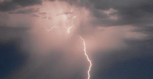
Today | Areas of patchy fog early. Variable clouds with scattered thunderstorms. High 77F. (cooler lake) Winds NE at 10 to 15 mph. Chance of rain 50%.
Tonight | Partly to mostly cloudy. A stray shower or thunderstorm is possible. Low 67F. Winds ENE at 10 to 15 mph.
Tomorrow | Scattered thunderstorms in the morning, then partly cloudy late. High 76F. (cooler lake) Winds NE at 10 to 15 mph. Chance of rain 40%.
Tomorrow night | Mainly clear. Low 64F. Winds NNE at 10 to 15 mph.
Sunday | Sunny. Highs in the low 80s and lows in the mid 60s.
Monday | Partly cloudy. Highs in the mid 80s and lows in the upper 60s.
Tuesday | Morning showers and thunderstorms. Highs in the upper 80s and lows in the low 70s.
Wednesday | Afternoon showers and thunderstorms. Highs in the upper 80s and lows in the low 70s.
Thursday | Thunderstorms developing in the afternoon. Highs in the low 90s and lows in the low 70s.