Forecast Summary
Meteorologist Ray Stagich
WLS-AM
Thursday, February 23, 2017
CRAZY RIDE THE NEXT FEW DAY!!!!
RECORD HIGH TIED TODAY. STORMS LOOK POSSIBLE FRIDAY AS A COLD FRONT APPROACHES……WINTER RETURNS SATURDAY WITH THE CHANCE OF SOME LIGHT SNOW, Especially Friday night…
THE CHICAGO-OHARE CLIMATE NORMALS FOR TODAY
NORMAL RECORD YEAR
MAXIMUM TEMPERATURE (F) 38 66 2000
MINIMUM TEMPERATURE (F) 23 -18 1873
SUNRISE AND SUNSET
FEBRUARY 23 2017……SUNRISE 636 AM CST SUNSET 535 PM CST
FEBRUARY 24 2017……SUNRISE 634 AM CST SUNSET 536 PM CST
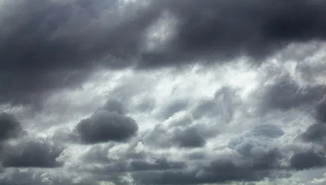
Today | A mix of clouds and sun this morning followed by increasing clouds with showers developing this afternoon. Breezy…..not as mild….High 48F. Winds NNE at 15 to 25 mph. Chance of rain 90%.
Tonight | Windy with Showers and thunderstorms. Low 38F. Winds NE at 15 to 25 mph. Chance of rain 100%. Winds could occasionally gust over 40 mph.
Tomorrow | Thunderstorms likely in the morning. Then the chance of scattered thunderstorms in the afternoon. A few storms may be severe. High 58F. E winds shifting to WNW at 10 to 20 mph. Chance of rain 80%.
Tomorrow night | Increasingly windy with snow showers after midnight. Low 28F. Winds WSW at 20 to 30 mph. Chance of snow 50%. Snow accumulations less than one inch. Winds could
occasionally gust over 40 mph.
Saturday | Partly cloudy and windy. Flurries….Highs in the low 30s and lows in the low 20s.
Sunday | Partly cloudy and windy. Highs in the mid 40s and lows in the low 30s.
Monday | Mix of sun and clouds. Highs in the low 50s and lows in the upper 30s.
Tuesday | Showers possible in the afternoon. Highs in the low 60s and lows in the low 40s.
Wednesday | Showers ending by midday. Highs in the upper 40s and lows in the upper 20s.