Forecast Summary
Meteorologist Ray Stagich
WLS-AM
Wednesday, April 19th, 2017
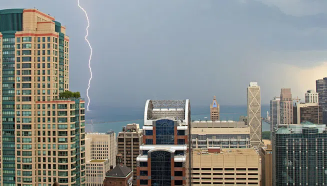
A FRONT APPROACHES CHICAGO TODAY WITH SHOWERS AND T-STORMS…..SOME STORMS COULD BE SEVERE LATER TODAY. THEN COOLER LATE THIS WEEK…..
Tuesday at O’Hare:
High: 76
Low: 41
THE CHICAGO-OHARE CLIMATE NORMALS FOR TODAY
NORMAL RECORD YEAR
MAXIMUM TEMPERATURE (F) 61 86 1985
MINIMUM TEMPERATURE (F) 40 22 1983
SUNRISE AND SUNSET
APRIL 19 2017 – SUNRISE 605 AM CDT SUNSET 737 PM CDT
APRIL 20 2017 – SUNRISE 603 AM CDT SUNSET 739 PM CDT
Today | Scattered thunderstorms developing. Morning highs in the mid to upper 60s…with temps falling to near 50. NW winds shifting to NE at 10 to 20 mph. Chance of rain 50%.
Tonight | Scattered thunderstorms early, then cloudy skies after midnight. A few storms may be severe this eve…. Low near 45F. ENE winds shifting to S at 10 to 20 mph. Chance of rain 40%.
Tomorrow | Windy with a few clouds from time to time. High 71F. Winds WSW at 20 to 30 mph.
Tomorrow night | Partly cloudy skies. Low 42F. Winds WNW at 15 to 25 mph.
Friday | Mostly sunny. Highs in the low 50s and lows in the low 40s.
Saturday | Mix of sun and clouds. Highs in the low 50s and lows in the low 40s.
Sunday | Sunshine. Highs in the upper 50s and lows in the upper 30s.
Monday | More sun than clouds. Highs in the low 60s and lows in the low 50s.
Tuesday | Showers ending by midday. Highs in the upper 60s and lows in the upper 40s.