By Ray Stagich, WLS-AM Meteorologist Ray Stagich
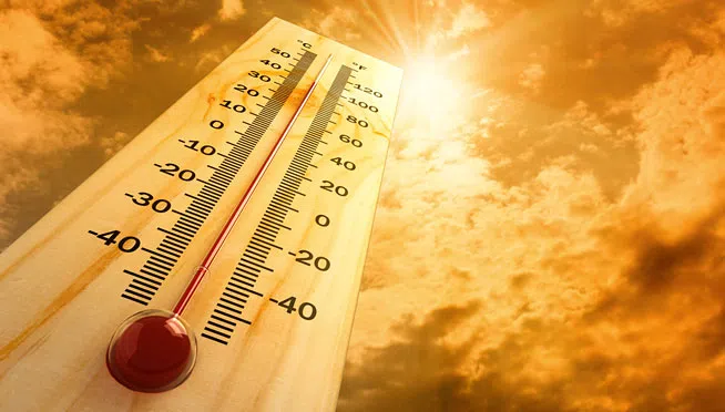
EXPECTING A STRING OF CONSECUTIVE 90+ DEGREE DAYS THIS WEEKEND AND
INTO NEXT WEEK. WHILE THE CURRENT FORECAST DOES NOT HAVE HIGH
TEMPERATURES REACHING RECORD HIGHS, SUNDAY MAY BE ONLY A COUPLE OF
DEGREES AWAY FROM RECORD HIGH TEMPS. BELOW ARE THE CHICAGO AND
ROCKFORD RECORD HIGH TEMPERATURES FOR SATURDAY THROUGH MONDAY.
Today|Sunny skies with gusty winds developing later in the day. High 89F. Winds SW at 20 to 30 mph.
Tonight |A mostly clear sky. Low 72F. Winds SSW at 15 to 25 mph.
Tomorrow|Partly cloudy. Highs in the mid 90s and lows in the low 70s.
Monday|Sunshine. Highs in the low 90s and lows in the low 70s.
Tuesday|More sun than clouds. Highs in the mid 90s and lows in the mid 70s.
Wednesday|Scattered thunderstorms. Highs in the low 90s and lows in the low 70s.
Thursday|More sun than clouds. Highs in the low 90s and lows in the upper 60s.
@ 2017 WLS-AM News