By Ray Stagich, Weather Channel Meteorologist
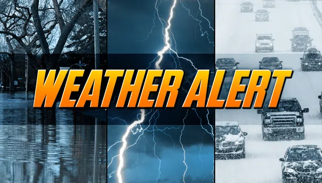
LOCALIZED ICE JAM FLOODING ON AREA RIVERS REMAINS A THREAT.
DANGEROUSLY COLD WIND CHILL TEMPERATURES EXPECTED MONDAY NIGHT.
Today|Snow this morning will transition to snow showers this afternoon. High 26F. S winds shifting to W at 10 to 20 mph. Chance of snow 80%.
**Snow accumulating 1 to 3 inches.
Tonight|Variably cloudy with snow showers. Low 12F. Winds W at 15 to 25 mph. Chance of snow 50%.
**Snow accumulations less than one inch.
Tomorrow|Scattered snow showers during the morning. Then partly to mostly cloudy for the afternoon. High near 25F. Winds NW at 10 to 15 mph. Chance of snow 30%.
Tomorrow night|Clear skies. Low 8F. Winds NW at 10 to 15 mph.
Wednesday|Plenty of sun. Highs in the low 20s and lows in the upper teens.
Thursday|More sun than clouds. Highs in the mid 30s and lows in the low 20s.
Friday|Mix of sun and clouds. Highs in the low 40s and lows in the mid 30s.
Saturday|Showers possible in the afternoon. Highs in the mid 40s and lows in the low 40s.
Sunday|Cloudy, periods of rain. Highs in the low 50s and lows in the low 30s.