Meteorologist Ray Stagich
WLS AM
Wednesday, June 24th, 2015
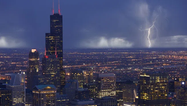
Ray’s Note: Quiet weather tonight and comfortable. Rapid changes underway for Wednesday into Wednesday Night. Same front that went through the Chicago Area Monday Night will be lifting back into our area as a warm front( a push of warm and muggy air). More storms look likely as a result late afternoon Wednesday into Early Thursday . Some storms could again be severe with heavy rainfall possible too. Another change back to cooler and quieter weather in time for the weekend.
**Flash Flood Watch from Wednesday Evening Through Thursday Afternoon**
SUNRISE AND SUNSET
JUNE 24 2015 – SUNRISE 517 AM CDT SUNSET 831 PM CDT
JUNE 25 2015 – SUNRISE 517 AM CDT SUNSET 831 PM CDT

Today | Clear early. Sun with high clouds coming in this morning. For this afternoon a stray shower or thunderstorm is possible. High 81F. Cooler by the lake. Winds S at 5 to 10 mph.
Tonight | Strong thunderstorms likely. Storms may produce large hail and strong winds. Low around 65F. Winds SSE at 5 to 10 mph. Chance of rain 90%.
1 to 2 inches of rain expected.
Tomorrow | Variable clouds with scattered thunderstorms. High 74F. (cooler lake) WNW winds shifting to NNE at 10 to 20 mph. Chance of rain 60%.
Tomorrow night | A few clouds from time to time. Low 56F. Winds NNE at 10 to 15 mph.
Friday | Times of sun and clouds. Highs in the low 70s and lows in the mid 50s.
Saturday | Sunny. Highs in the mid 70s and lows in the mid 50s.
Sunday | A few clouds. Highs in the upper 70s and lows in the low 60s. .