Forecast Summary
Meteorologist Ray Stagich
WLS-AM Forecast
Friday, August 28th, 2015
Warmer weather returns this weekend/early next week. Could have a few storms around on Saturday….WE may start September with 90 degree temps!!!!
High Thursday: 76
Low Thursday: 51
SUNRISE AND SUNSET
AUGUST 28 2015 – SUNRISE 613 AM CDT SUNSET 732 PM CDT
AUGUST 29 2015 – SUNRISE 614 AM CDT SUNSET 730 PM CDT
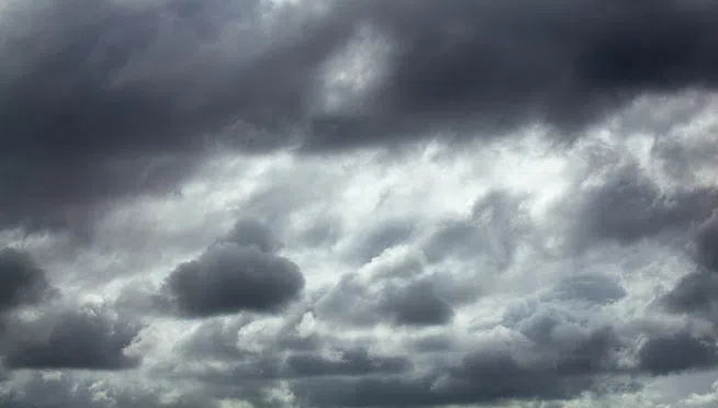
Today | Some early morning breaks in the overcast, otherwise cloudy. A passing sprinkle or shower….High 78F. Winds S at 10 to 15 mph.
Tonight | Cloudy skies early, then off and on rain showers overnight. Low 64F. Winds SSE at 10 to 15 mph. Chance of rain 60%.
Tomorrow | Showers and a few thunderstorms likely. High near 75F. Winds SSW at 5 to 10 mph. Chance of rain 70%. Rainfall possibly over one inch.
Tomorrow night | Scattered thunderstorms during the evening, then partly cloudy overnight. Low 63F. Winds NNW at 5 to 10 mph. Chance of rain 40%.
Sunday | Partly cloudy. Highs in the low 80s and lows in the low 60s.
Monday | Mainly sunny. Highs in the mid 80s and lows in the low 60s.
Tuesday | Abundant sunshine. Highs in the upper 80s and lows in the upper 60s.


