By Kenneth Boone, Weather Channel Meteorologist
Posted 4:25pm 12/26/2015
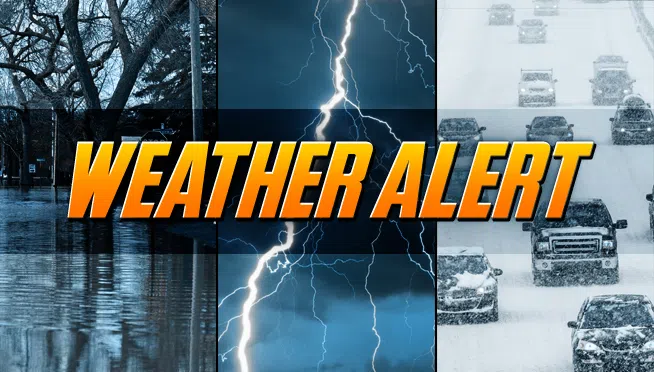
(CHICAGO) Winter weather and colder temperatures ahead for the start of the week. Note these advisories:
FLASH FLOOD WATCH THRU MONDAY AFTERNOON – IROQUOIS – NEWTON – JASPER IN (1-3″ INTO SUNDAY MORNING WITH AN ADDITIONAL 1-1.5″ SUNDAY NIGHT INTO MONDAY)
LAKESHORE FLOOD WATCH IN EFFECT FROM MONDAY MORNING THROUGH MONDAY EVENING
Read the latest weather statistics and watch live radar here.
Saturday night | Showers and windy. Low 36F. N winds at 10 to 15 mph, increasing to 20 to 30 mph.
Sunday | Overcast skies and windy with scattered showers. Temps nearly steady in the mid to upper 30s. Winds NNE at 20 to 30 mph.
Sunday night | Cloudy during the evening then windy with a few snow showers late. Areas of freezing rain possible. Low near 30F. Winds NE at 20 to 30 mph. Chance of snow 30%.
Monday | Cloudy and windy with freezing rain expected. High 36F. Winds E at 25 to 35 mph. Chance of precip 100%.
Tuesday | Cloudy. Highs in the upper 30s and lows in the upper 20s.
Wednesday | Mostly cloudy. Highs in the low 30s and lows in the low 20s.
Thursday | Mostly cloudy. Highs in the mid 20s and lows in the mid teens.
@2015 WLS News