WATCH COUNTY NOTIFICATION FOR WATCHES 331/333
NATIONAL WEATHER SERVICE CHICAGO IL
419 AM CDT WED JUL 6 2016
SEVERE THUNDERSTORM WATCH 333 REMAINS VALID UNTIL 9 AM CDT /10 AM
EDT/ THIS MORNING FOR THE FOLLOWING AREAS
IN ILLINOIS THIS WATCH INCLUDES 8 COUNTIES
IN CENTRAL ILLINOIS
LIVINGSTON
IN EAST CENTRAL ILLINOIS
FORD IROQUOIS
IN NORTH CENTRAL ILLINOIS
LA SALLE
IN NORTHEAST ILLINOIS
GRUNDY KANKAKEE KENDALL
WILL
IN INDIANA THIS WATCH INCLUDES 5 COUNTIES
IN NORTHWEST INDIANA
BENTON JASPER LAKE IN
NEWTON PORTER THIS INCLUDES THE CITIES OF…FOWLER…GARY…JOLIET…KANKAKEE…MOROCCO…MORRIS…OSWEGO…OTTAWA…PIPER CITY…PONTIAC…RENSSELAER…VALPARAISO AND WATSEKA.
Forecast Summary
Meteorologist Ray Stagich
WLS-AM Forecast
Wednesday, July 6, 2016
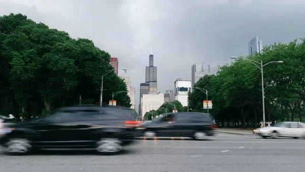
Risk of strong t-storms into the morning rush hour on Wednesday. More Storms look possible (some possibly severe) Wednesday evening. Additional storm potential on Thursday as well. A quieter and somewhat cooler set up by the weekend…..
**A Severe T-Storm Watch is in effect until 9 am CDT***
SUNRISE AND SUNSET
JULY 6 2016 – SUNRISE 523 AM CDT SUNSET 829 PM CDT
JULY 7 2016 – SUNRISE 524 AM CDT SUNSET 829 PM CDT
Today | Thunderstorms this morning, then partly cloudy during the afternoon hours. High near 90F. Winds WSW at 10 to 20 mph. Chance of rain 90%.
Tonight | Thunderstorms early, then partly cloudy after midnight. Low 71F. Winds SSW at 5 to 10 mph. Chance of rain 80%.
Tomorrow | Scattered thunderstorms. High near 85F. Winds SSE at 5 to 10 mph. Chance of rain 60%.
Tomorrow night | Thunderstorms likely in the evening. Then the chance of scattered thunderstorms later on. A few storms may be severe. Low 71F. Winds S at 5 to 10 mph. Chance of rain 80%.
Friday | Partly cloudy. Highs in the mid 80s and lows in the low 60s.
Saturday | Times of sun and clouds. Highs in the upper 70s and lows in the low 60s.
Sunday |Sunshine. Highs in the low 80s and lows in the mid 60s.
Monday | A few clouds. Highs in the upper 80s and lows in the upper 60s.
Tuesday | Times of sun and clouds. Highs in the low 90s and lows in the low 70s.