Forecast Summary
Meteorologist Ray Stagich
WLS-AM
Monday, August 1, 2016
AUGUST WILL BEGIN ON A DRY AND SEASONAL NOTE BUT THE NEXT ROUND OF SHOWERS AND STORMS ARRIVE BY TUESDAY
SUNRISE AND SUNSET
AUGUST 1 2016 – SUNRISE 546 AM CDT SUNSET 809 PM CDT
AUGUST 2 2016 – SUNRISE 547 AM CDT SUNSET 808 PM CDT
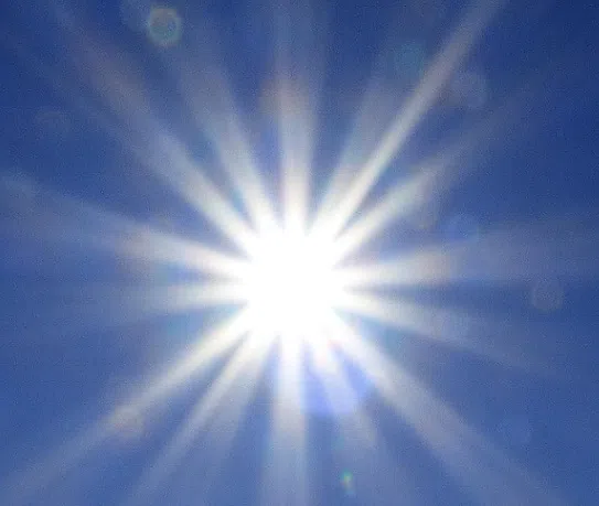
Today | Lots of sunshine. High 81F. (little cooler lake) Winds ENE at 5 to 10 mph.
Tonight | A few passing clouds. Low 68F. Winds ENE at 5 to 10 mph.
Tomorrow | Partial cloudiness early, with scattered showers and thunderstorms in the afternoon. High 88F. Winds SSE at 10 to 15 mph. Chance of rain 60%.
Tomorrow night | Thunderstorms likely in the evening. Then the chance of scattered thunderstorms later on. Low 71F. Winds SSE at 5 to 10 mph. Chance of rain 80%.
Wednesday | Afternoon thunderstorms. Highs in the mid 80s and lows in the low 70s.
Thursday | Mix of sun and clouds. Highs in the low 90s and lows in the mid 70s.
Friday | A few thunderstorms possible. Highs in the mid 80s and lows in the upper 60s.
Saturday | Partly cloudy. Highs in the upper 70s and lows in the mid 60s.
Sunday | Times of sun and clouds. Highs in the upper 70s and lows in the mid 60s.