Forecast Summary
Meteorologist Ray Stagich
WLS-AM CT
Friday, August 12, 2016
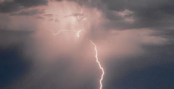
**A stormy setup possible Friday. Heavy downpours the greatest concern. A couple of isolated strong to severe storms possible Friday afternoon into Friday Evening. Better for the weekend**
ALERT
WINNEBAGO-BOONE-MCHENRY-OGLE-LEE-DE KALB-KANE-INCLUDING THE CITIES OF…ROCKFORD…BELVIDERE…WOODSTOCK…
OREGON…DIXON…DEKALB…AURORA…ELGIN
349 AM CDT FRI AUG 12 2016
FLASH FLOOD WATCH REMAINS IN EFFECT THROUGH THIS EVENING…THE FLASH FLOOD WATCH CONTINUES FOR
* THUNDERSTORMS ARE EXPECTED TO REDEVELOP LATE THIS MORNING INTO EARLY THIS AFTERNOON AND CONTINUE THROUGH EARLY EVENING. THESE THUNDERSTORMS WILL BE CAPABLE OF PRODUCING TORRENTIAL RAINFALL RATES OF TWO INCHES OR MORE PER HOUR…WHICH MAY RESULT IN LOCALIZED FLASH FLOODING.
Today | Thunderstorms likely. A few storms may be severe. High 81F. Winds SSE at 5 to 10 mph. Chance of rain 80%. 1 to 2 inches of rain expected.
Tonight | Thunderstorms likely this evening. Then the chance of scattered thunderstorms overnight. Low 71F. Winds SW at 5 to 10 mph. Chance of rain 90%.
Tomorrow | Cloudy early with partial sunshine expected late. A stray shower or thunderstorm is possible. High 83F. Winds NW at 10 to 15 mph.
Tomorrow night | A few clouds. Low 68F. Winds NW at 5 to 10 mph.
Sunday | Plenty of sun. Highs in the mid 80s and lows in the mid 60s.
Monday | Partly cloudy. Highs in the low 80s and lows in the mid 60s.
Tuesday | Chance of showers. Highs in the low 80s and lows in the mid 60s.
Wednesday | A few clouds. Highs in the mid 80s and lows in the upper 60s.
Thursday | A few clouds. Highs in the upper 80s and lows in the upper 60s.