Forecast Summary
Meteorologist Ray Stagich
WLS-AM
Wednesday, February 22, 2017
Record warmth likely Wednesday. Much colder weather set to arrive this weekend….
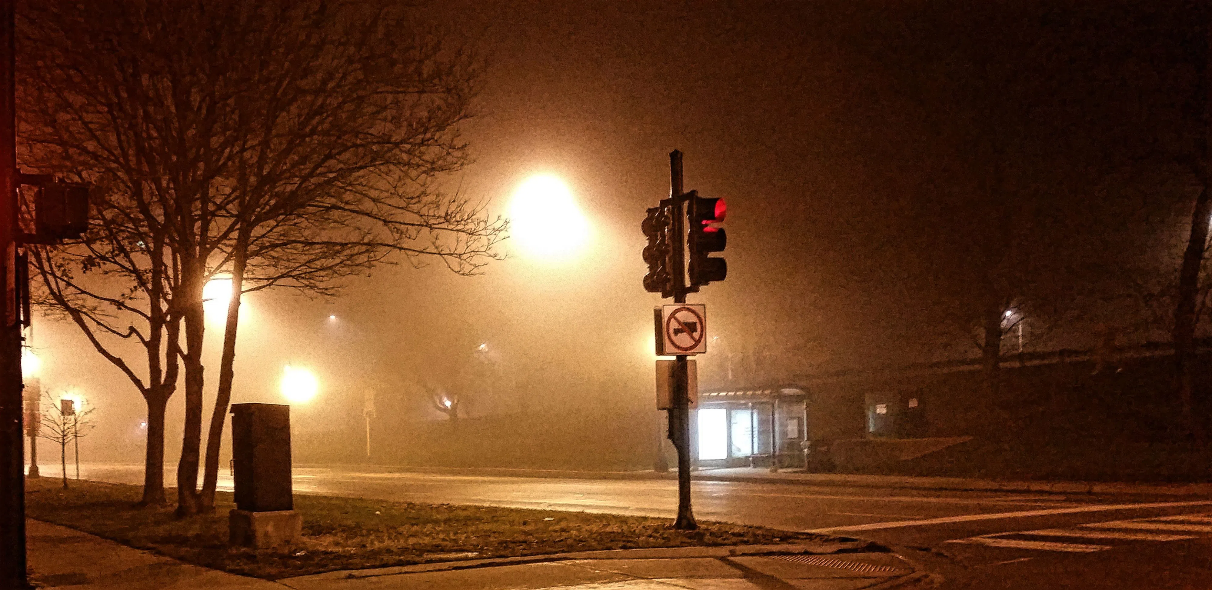
DENSE FOG ADVISORY THIS MORNING
Today | Foggy early, becoming sunny this afternoon. Record high temperatures expected. High 68F. Winds SSW at 10 to 20 mph.
Tonight | Mainly clear. Low 44F. Winds WSW at 10 to 20 mph.
Tomorrow | Cloudy. High 46F. Winds NE at 10 to 20 mph.
Tomorrow night | Rain. Thunderstorms possible…mainly late. Low 39F. Winds ENE at 10 to 20 mph. Chance of rain 100%.
Friday | Windy with showers and thunderstorms. Highs in the upper 60s and lows in the low 30s.
Saturday | Windy with a mix of sun and clouds. Highs in the mid-30s and lows in the low 20s.
Sunday | Mostly cloudy. Highs in the mid-40s and lows in the upper 20s.
Monday | Mostly cloudy. Highs in the upper 40s and lows in the upper 30s.
Tuesday | Chance of showers. Highs in the upper 50s and lows in the low 40s.


