By Weather Channel Meteorologist Todd Borek
HIGH PRESSURE WILL CONTINUE TO DOMINATE THE REGION THROUGH TUESDAY.
REMAINING GUSTY THROUGH THIS EVENING BEFORE WINDS DECREASE A BIT OVERNIGHT.
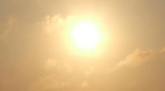
EXPECT ANOTHER BEAUTIFUL AFTERNOON FOR SUNDAY.
RIVER FLOOD WARNINGS REMAIN IN EFFECT.
Sunday|Plentiful sunshine. Highs in the low to mid 80s. Mid 70s near the Lake. Winds NE at 5 to 10 mph.
Sunday night|Mainly clear. Lows in the upper 50s to mid 60s. Winds NW at 5 to 10 mph.
Monday|More sun than clouds. Highs in the mid 80s. Upper 70s near the Lake. Lows in the mid 60s.
Tuesday|More clouds than sun. Highs in the mid 80s and lows in the upper 60s.
Wednesday|Partly sunny with a chance for an isolated thunderstorm. Highs in the mid to upper 80s and lows in the upper 60s.
Thursday|A few thunderstorms possible. Highs in the upper 70s and lows in the low 60s.