By Weather Channel Meteorologist Todd Borek
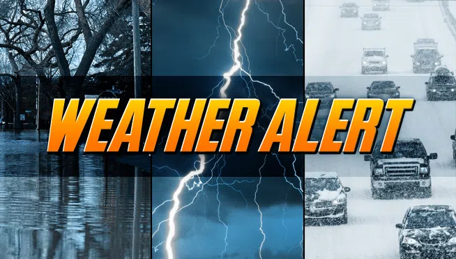
A WINTER WEATHER ADVISORY IN EFFECT UNTIL NOON MONDAY. 2 to 5 INCHES OF SNOWFALL POSSIBLE THROUGH MONDAY MORNING.
LOCALIZED ICE JAM FLOODING ON AREA RIVERS REMAINS A THREAT.
DANGEROUSLY COLD WIND CHILL TEMPERATURES EXPECTED MONDAY NIGHT.
Tonight|Snow this evening will taper off to light snow late. Low 18F. Winds SSE at 10 to 20 mph. Chance of snow 70%. 1 to 3 inches of snow expected.
Monday|Snow showers. High 26F. Winds SW at 10 to 20 mph. Chance of snow 60%. Another 1 to 2 inches of snow possible early.
Monday night|Snow showers. Blustery. Low 11F with wind chill temperatures as low as -10F. Winds W at 15 to 25 mph. Chance of snow 50%. Snow accumulations less than one inch.
Tuesday|Clouds giving way to sun . Highs in the mid 20s and lows in the upper single digits.
Wednesday|A few clouds. Highs in the low 20s and lows in the mid teens.
Thursday|More sun than clouds. Highs in the mid 30s and lows in the low 20s.
Friday|More sun than clouds. Highs in the low 40s and lows in the mid 30s.