Tag Archives: NWS

Update: Severe storms possible this afternoon and evening

WeatherAlert_654x372

Posted by Weather Channel Meteorologist Jeff Eno

6/7/2015 11:58AM

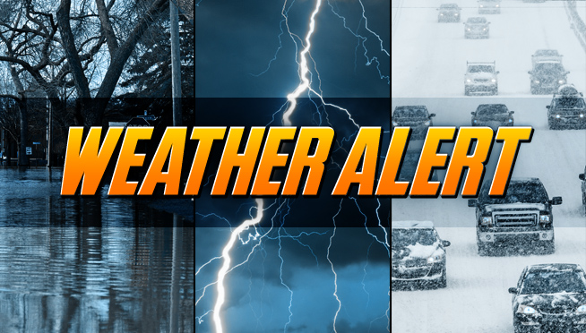
Update: A second round of storms may be on the way, capable of locally heavy rainfall, possible flash flooding, damaging wind in excess of 60 MPH and hail the size of quarters.  Watch real time weather radar here.

Today | Windy with strong thunderstorms likely. High close to 80

Tonight | Evening storms possible with a chance for heavy rain. Low around 65

Tomorrow | Partial cloudiness early, with scattered showers and thunderstorms in the afternoon. High low to mid 80s

Monday night | Partly cloudy skies. Maybe a stray evening thunderstorm. Low near 60

Tuesday | More sun than clouds. High near 85

Wednesday | Showers and thunderstorms possible. High mid to upper 80s

Thursday | Times of sun and clouds. A stray thunderstorm. High mid 70s to near 80


March off to mild start after frigid February

(CHICAGO) After one of the coldest months in Chicago history, March has gotten off to a relatively warmer start that might put a little spring into commuters’ step to start the work week.

Sunday, which marked the meteorological start of spring, saw a sunny high of 27 degrees, according to the National Weather Service. It’s expected to give way to another clear day on Monday with a high of 31.

The warmer temperatures will bring with them a sloppy morning rush on Tuesday, with sleet and freezing rain accompanying the day’s balmy high of 38, forecasters said.

But in case you thought we were out of the wintry woods yet, highs are forecasted in just the upper teens on Wednesday and Thursday before temperatures edge back into the mid-20s by the weekend.

Still, it’s a welcome respite after Saturday’s low of 10 degrees below zero pulled last month into a tie for Chicago’s coldest February on record at 14.6 degrees, forecasters said.

That unforgiving average was matched only by an equally frigid 28 days in 1875, according to NWS records.

It was also the third-snowiest February on record for Chicago, with 26.4 inches of snow measured at O’Hare Airport, the city’s official weather recording station, as of Saturday night, forecasters said.

© Copyright 2015 Sun-Times Media, LLC

NWS: Smokestack particles may have caused Friday morning snow

(Chicago)   Minor accumulations of snow across the Chicago area Friday morning may have been helped along by soot particles floating up from smokestacks.

About an inch of snow was reported in Lockport about 5 a.m., and a “dusting” was reported near Aurora and Naperville, according to National Weather Service meteorologist Ben Deubelbeiss.

Smaller amounts were reported on the Far South Side and around the Indiana state line.

When radar images showed snow developing this morning, it seemed to be developing in isolated areas and not moving, which caused the weather service to speculate that a stationary source was causing it, Deubelbeiss said.

Conditions like those seen about 5 a.m., including low clouds, typically lead to drizzle, Deubelbeiss said.

However, particles from smokestacks may have drifted up into those low clouds, making it easier for ice crystals to form around them and leading to isolated accumulations of snow reported Friday morning.

Patchy fog is expected to linger in the area through Saturday night, with temperatures in the low to mid-40s expected Saturday, according to the weather service. Sunday’s high could reach 51, with a low in the mid-40s and a slight chance of rain overnight into Monday morning.

© Copyright 2014 Sun-Times Media, LLC